










By Samuel Akpan
Senior officials from the United Kingdom have visited the Nigerian Ports Authority (NPA) to reaffirm their commitment to a longstanding maritime partnership focused on hydrography, navigational safety, port development and capacity building.
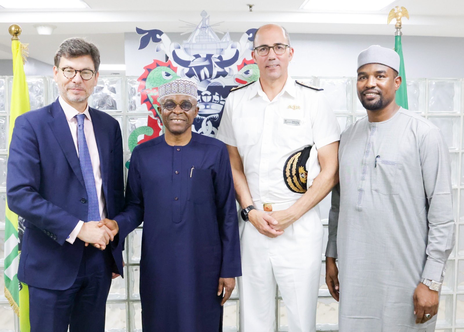
The delegation, which included Deputy British High Commissioner Jonny Baxter, Rear Admiral Angus Essenhigh, the UK National Hydrographer, and officials from the United Kingdom Hydrographic Office, was received by NPA Managing Director, Dr. Abubakar Dantsoho and other senior management representatives.
During the meeting in Lagos on Wednesday, Dr. Dantsoho highlighted the Authority’s aggressive modernisation drive, including major investments in port rehabilitation, improvements to navigation channels and broader infrastructure upgrades aimed at boosting operational efficiency and enhancing Nigeria’s competitiveness in regional maritime trade.
The UK side expressed its readiness to support Nigeria’s hydrographic progress through technical cooperation, nautical charting, the implementation of S-100 standards, digitalisation efforts and professional training programmes for NPA personnel.
Persecondnews reports that the S-100 is the Universal Hydrographic Data Model developed by the International Hydrographic Organization (IHO).
It serves as the modern foundation for digital hydrographic data, products, and services worldwide.
Unlike the older S-57 standard (used for current Electronic Navigational Charts or ENCs), S-100 is a flexible, ISO-aligned framework that supports a wide ecosystem of interoperable data layers — from high-resolution seabed mapping to real-time water levels and currents.
S-57 has served the industry well for decades but is limited in flexibility, update speed, and integration with other data. S-100 separates data content from the carrier format, aligns with mainstream geospatial standards (ISO 19100 series), and enables dynamic, near-real-time updates.
This dramatically improves situational awareness for mariners, port operators, and autonomous systems.
S-100 marks the biggest upgrade in maritime data standards in decades.
It moves the industry from static charts to a living, layered digital ecosystem that enhances safety, efficiency, and decision-making at sea and in ports.
For Nigeria’s ports and hydrographic services, embracing S-100 — with international partners like the UK — positions the country at the forefront of modern maritime infrastructure.
Author









Leave a comment